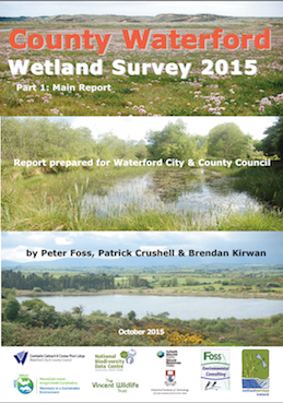
The results of a 2015 survey of wetlands in County Waterford have recently been published. The survey was commissioned by Waterford City & County Council and undertaken by ecologists with Wetland Surveys Ireland. The survey aimed to identify all wetland areas in the county to better inform land use planning and sustainable development strategies for the county.
Wetlands can be defined as areas of land that are wet enough for long enough to support a variety of plants and animals that are specially adapted to wet conditions. These wetland areas include a wide range of wildlife habitats such as bogs, marshes, swamps, wet woodlands, lakes, ponds, salt-marshes, estuaries, and coastal lagoons.
Wetlands are important for biodiversity by supporting a wide range of specialist plant and animal species. In addition, wetlands provide important ecosystem services such as flood prevention, provision of clean water, and carbon storage. Despite the known importance of wetlands, they continue to be threatened and damaged from activities such as drainage and infilling.
By carrying out a review of digital maps and previous studies the Waterford Wetland Survey identified thirty eight wetland habitat types occurring within over 292 individual sites throughout the county. During 2015 field surveys were also conducted on 35 wetlands within the county to characterise and map the wetlands present on these sites. As part of the study, information on these sites has been collated into a single digital wetland map of the county.
Dr Patrick Crushell, an ecologist with Wetland Surveys Ireland who worked on the project stated that “the Waterford wetland map should provide a very useful resource and can be used to inform land-use planning to ensure the future sustainable use of the county’s wetlands”.
The report highlights the absence of detailed information on many sites and the urgent need for targeted field surveys to gain a better understanding of the wetland resource within the county and to ensure that those sites of highest importance are protected. Such surveys have been completed for counties Louth and Kildare.
The Waterford Wetland Survey is an action of the County Waterford Heritage and Biodiversity Plan and the report is available from Bernadette Guest, Heritage Officer, Waterford City & County Council.
#MapofIrishWetlands
ends
